spotted
deep dives into identified wrecks
Explore shipwrecks identified in high-resolution bathymetric survey data. Spotted combines seabed surveys with historical records, archive material and contemporary sources to take a closer look at the ships, submarines and other wrecks beneath UK and Irish waters.
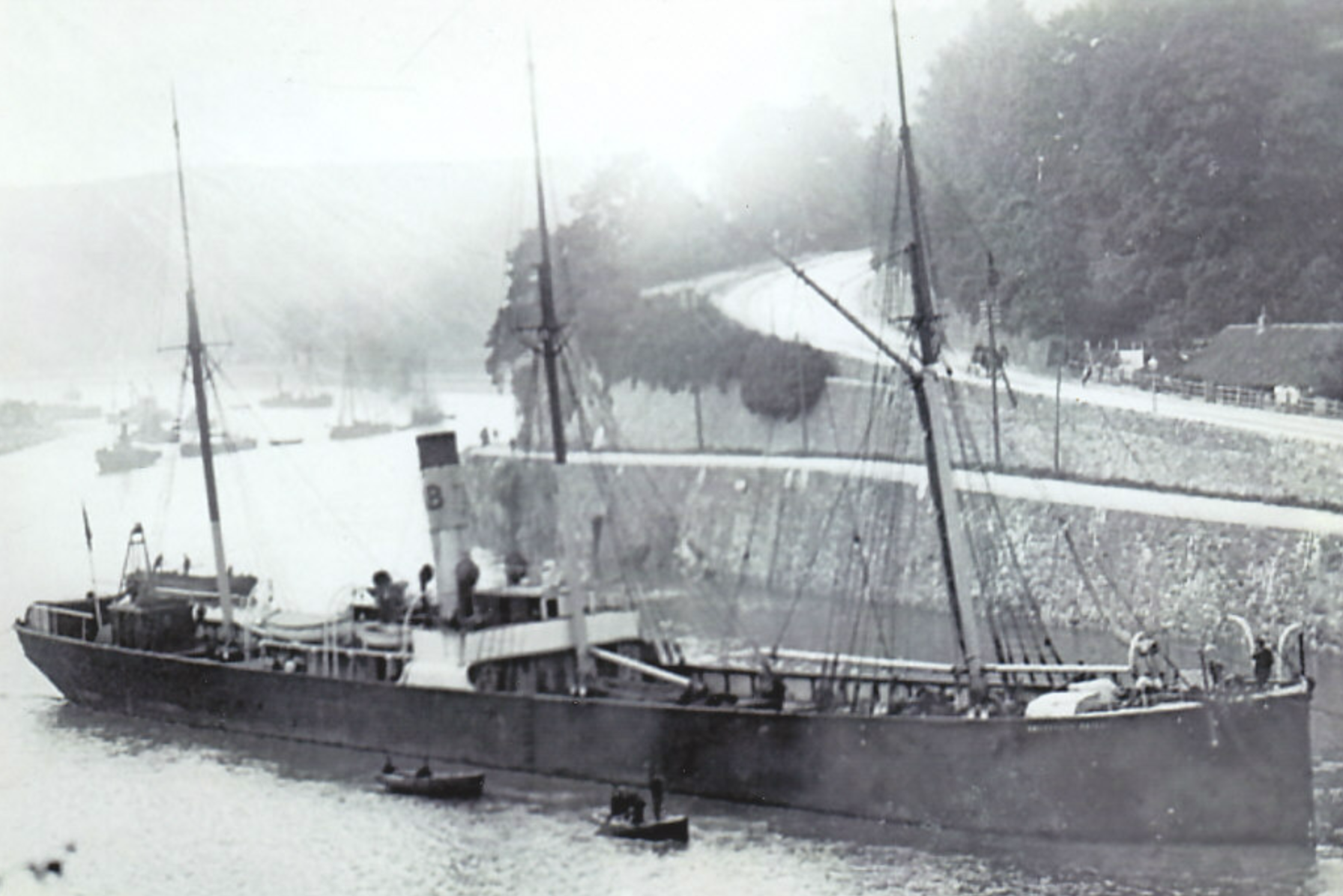

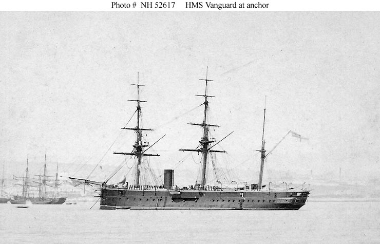
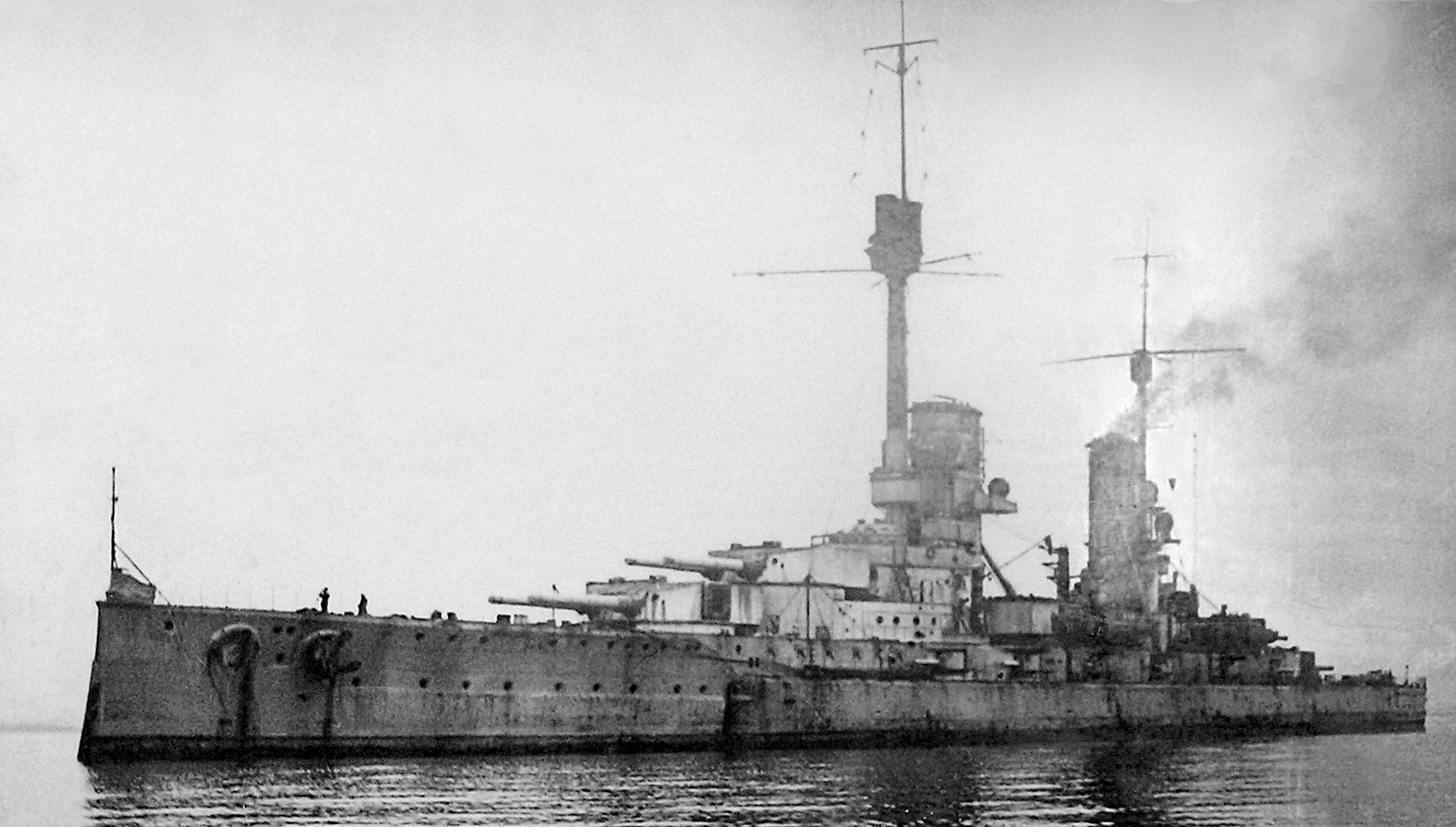
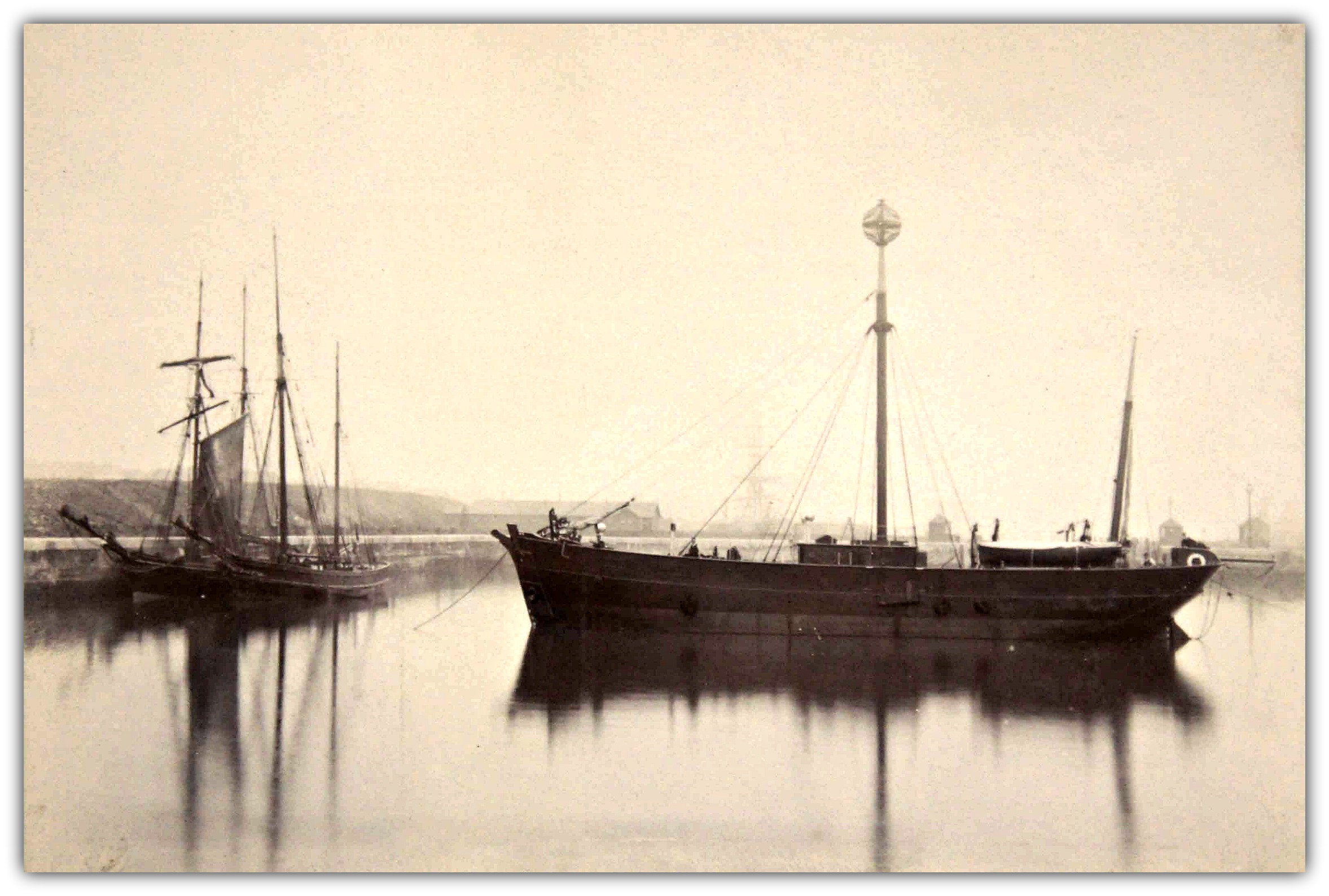
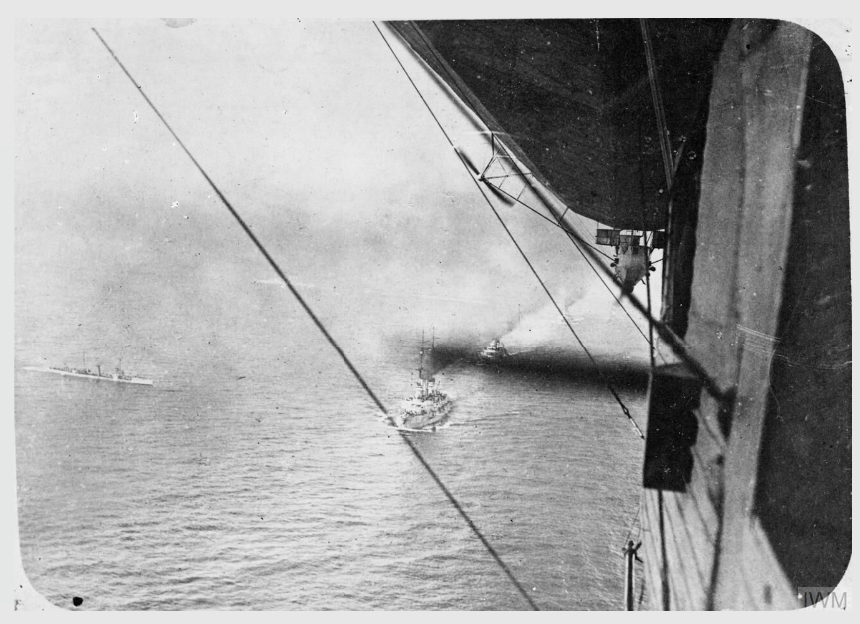
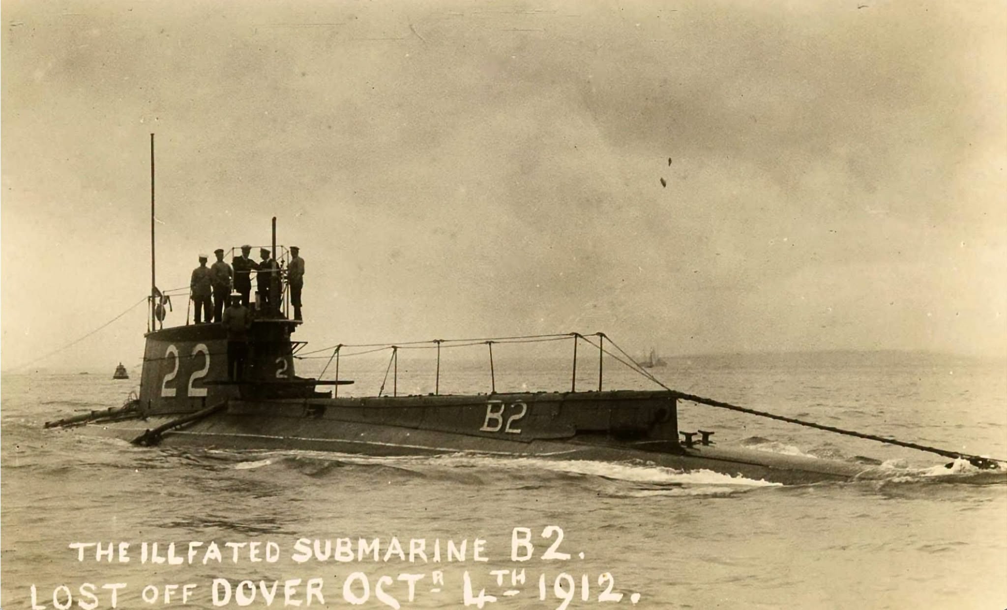
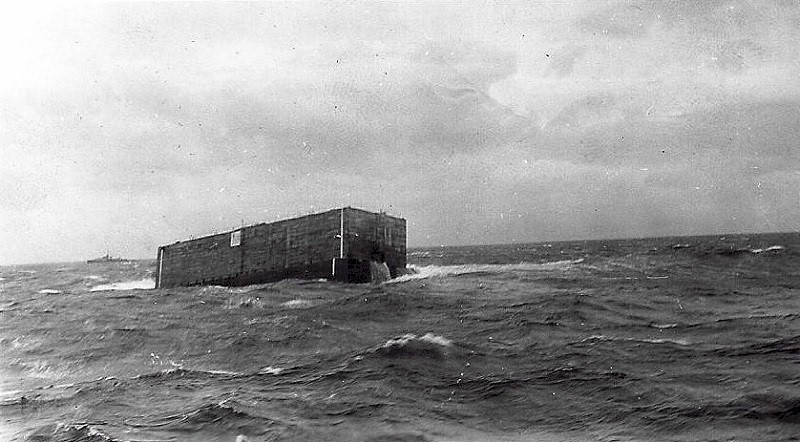
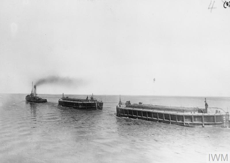




What is Spotted?
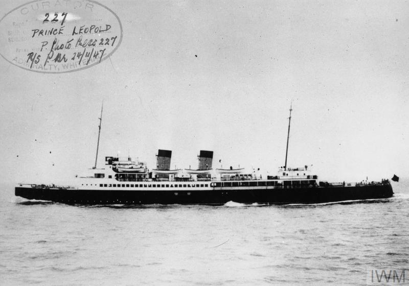
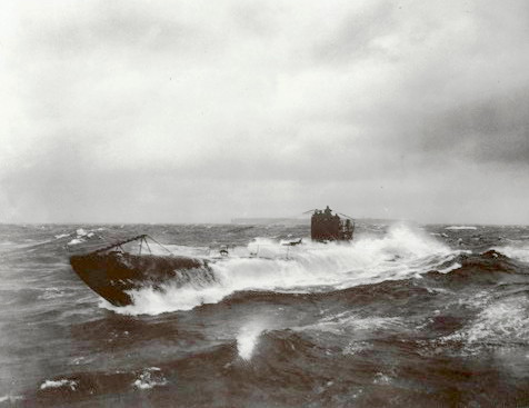
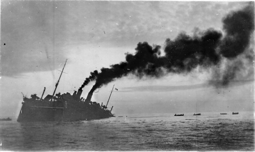
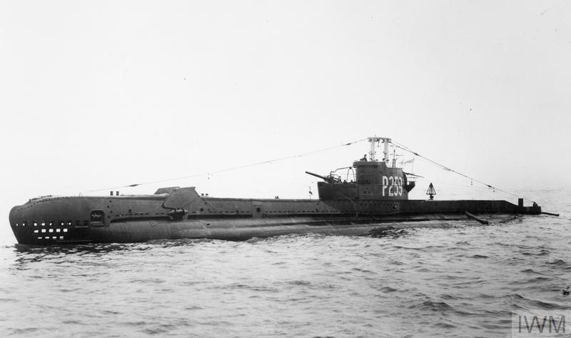
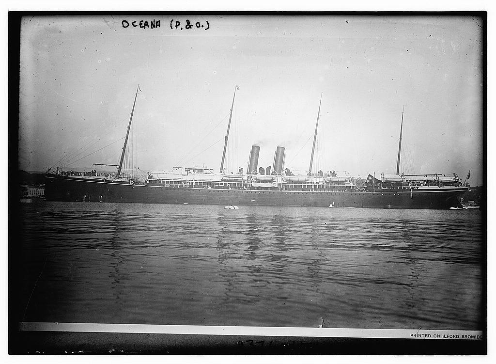
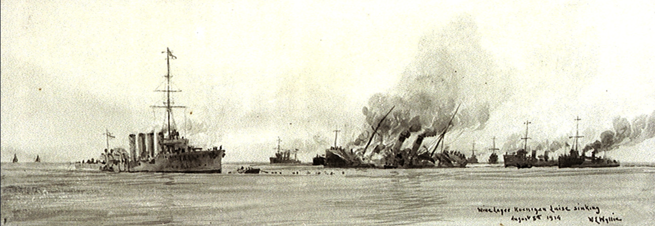
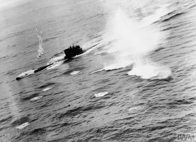
Spotted is where Wrecksite.uk takes a closer look at individual wrecks. It is not intended to be an exhaustive catalogue of every shipwreck around Britain and Ireland. Instead, the wrecks featured here have been selected because their surviving remains, seabed survey or history provide something particularly interesting to explore.
Some are famous ships whose stories continued long after they sank. Others are comparatively obscure vessels that become more interesting when their remains can be examined in modern survey data. In some cases the wreck helps to clarify the historical record; in others it raises new questions about how a vessel was lost or what has happened to it since.
Reading wrecks through the seabed
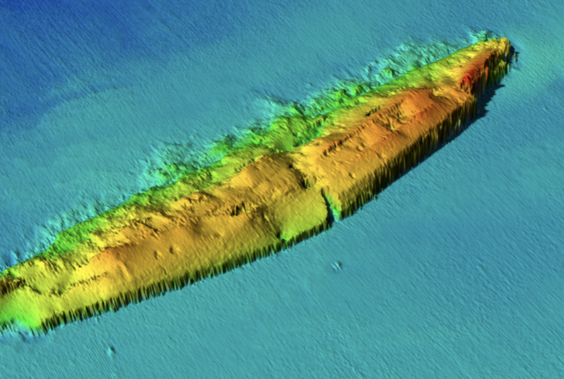
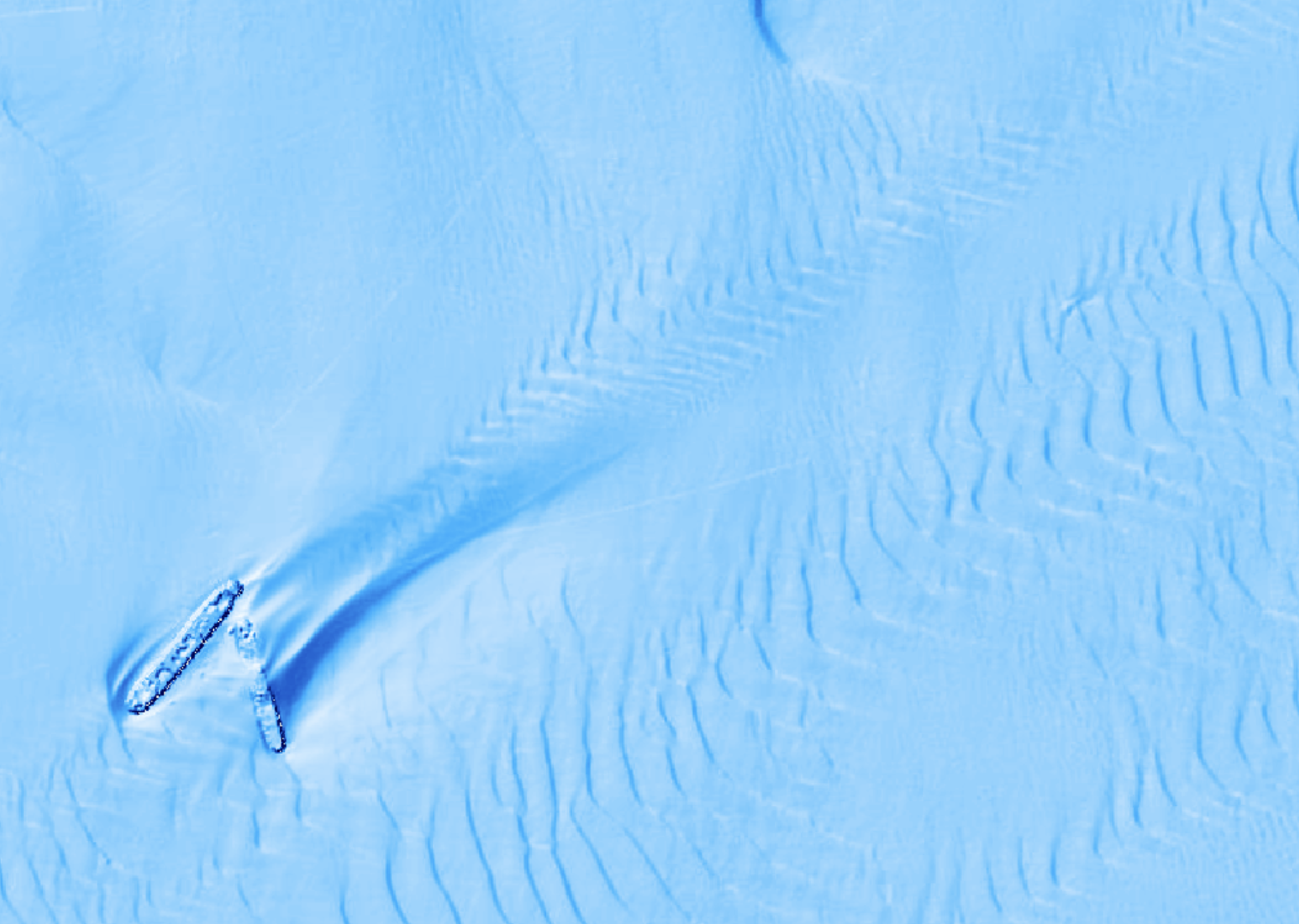
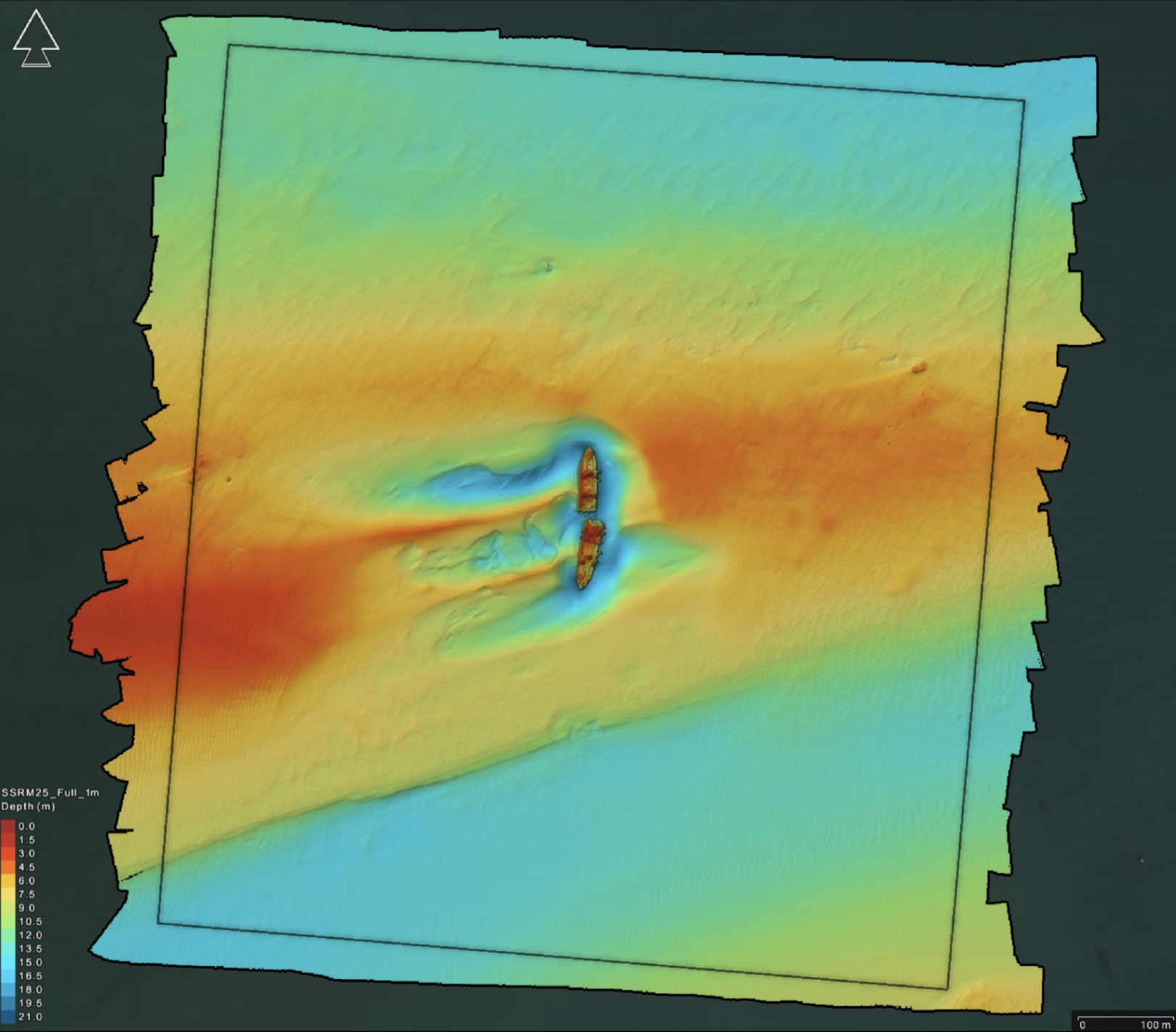
Modern multibeam bathymetry can reveal much more than the position of a wreck. Depending on the resolution of the survey and the condition of the site, it may show the orientation of a hull, surviving sections of structure, debris fields, areas of collapse, seabed scour and the relationship between the wreck and the surrounding terrain.
Survey data also has limitations. Bathymetry is a measurement of the seabed rather than a photograph, and features can be obscured by sediment, collapse or the geometry and resolution of the original survey. For that reason, Spotted articles use the seabed evidence alongside historical records rather than treating a survey image as the whole story.
Research and sources
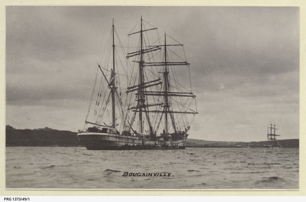
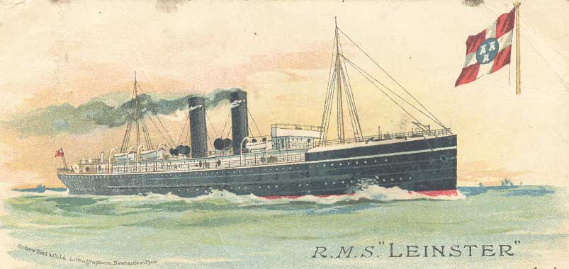
The sources used vary from wreck to wreck and can include hydrographic and archaeological reports, national archives, museum collections, shipbuilding records, contemporary newspapers, photographs and published maritime histories. Where sources disagree, the aim is to make that uncertainty clear rather than silently choosing one version of events.
References and further reading are included with individual features where appropriate. The wider datasets, survey material and research approach used throughout Wrecksite.uk are described on the sources and methodology page.