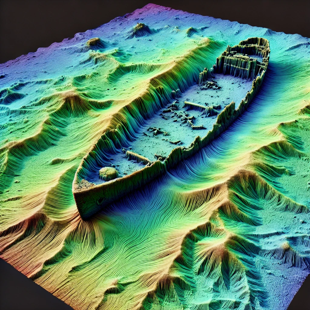

Wrecksite.uk brings together shipwreck records and seabed mapping to make wrecks around the British coast easier to explore. The map combines recorded wreck positions with information such as vessel type, dimensions, depth, date of loss and, where available, details of the circumstances in which a vessel was lost.
Zoom into the map to reveal individual wrecks. Selecting a wreck opens the information held for that site, while the search panel can be used to find vessels by name. The map also includes bathymetric data so that wreck sites can be viewed in the context of the surrounding seabed.
Bathymetry is the measurement and mapping of underwater terrain. Modern multibeam surveys can reveal the shape of the seabed in considerable detail and, where survey resolution is high enough, individual shipwrecks can sometimes be clearly distinguished.
Survey coverage and resolution vary around the UK. For some sites the map shows only the recorded wreck position, while others lie within detailed survey areas where hull form, debris fields and surrounding seabed features can be seen. Higher-resolution survey data becomes visible as the map is enlarged.
Wrecksite.uk brings together information from published wreck records, hydrographic and bathymetric datasets, historical sources and publicly available survey material. Records can vary in completeness, and wreck positions or identifications may change as new surveys and research become available.
More information about the datasets used by the project, source attribution and how conflicting historical information is handled is available on the sources and methodology page.
The Spotted section takes a closer look at selected wrecks where modern seabed surveys, three-dimensional data or unusual historical material reveal something worth exploring in greater depth. These articles combine the surviving wreck with the history of the vessel rather than treating the map simply as a database of positions.
Wrecksite.uk is intended for historical, educational and research use. Wreck locations, depths and seabed information shown here should not be relied upon for navigation, diving safety or other operational purposes.