about
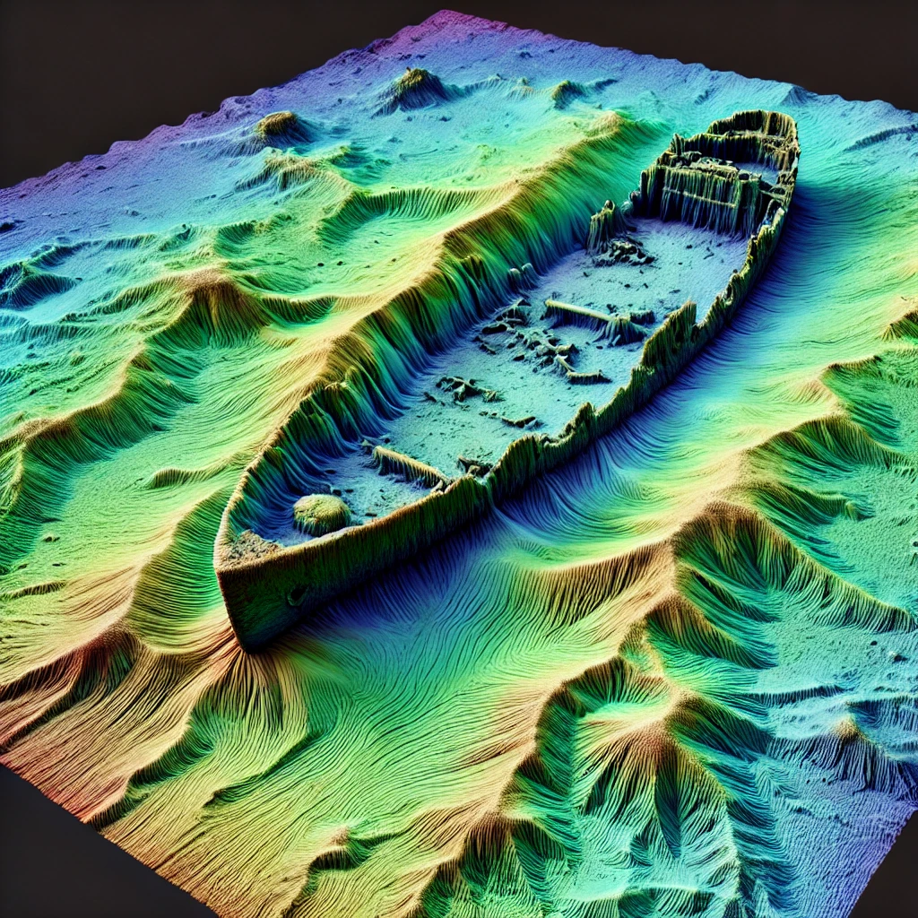
wrecksite.uk is an interactive web map that visualises historical and modern shipwreck data around the UK. It combines high-resolution bathymetric data with wreck location information to help you explore the seafloor and discover the stories beneath the waves.
The project aims to make maritime history and geospatial data more accessible to the public, divers, researchers, and enthusiasts alike. By using open-source tools and public datasets, wrecksite.uk offers a lightweight, fast, and engaging way to view wreck locations and related details right in your browser.
The site is continuously evolving, with new features, layers, and data being added as the project develops. Whether you're interested in naval history, underwater topography, or just curious about what lies beneath the surface — you're in the right place.